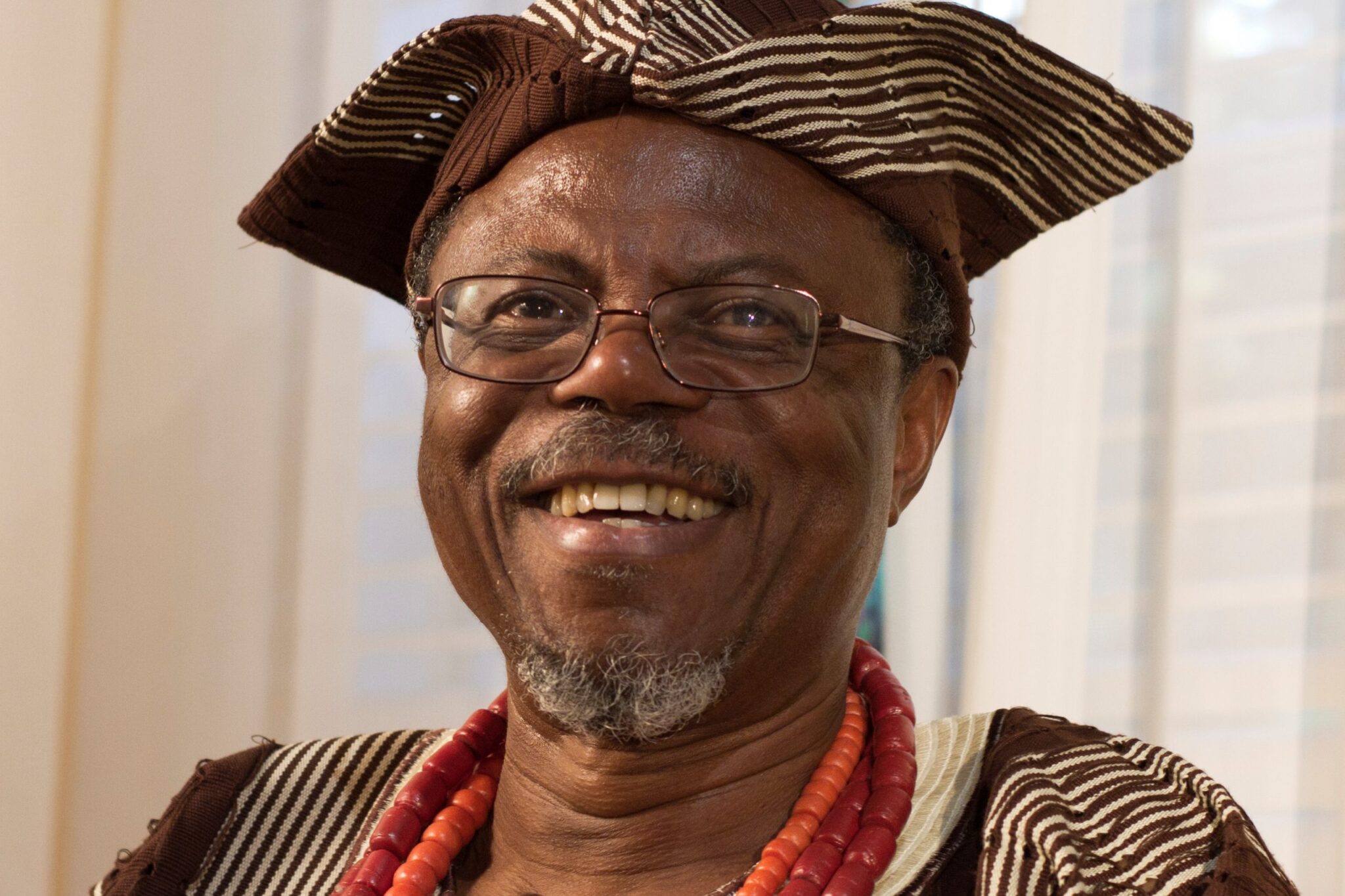
Prof. Michael Gould, an Information Systems Professor at University Jaume 1, Castellon, Spain, has urged geographers and Geographic Information System (GIS) professionals to embrace Artificial Intelligence (AI) and continuously update their skills to remain relevant.
He gave the advice at a webinar on “Geo AI: Transforming Geographic Inquiry with AI,” organised by the Department of Geography, University of Ibadan, on Friday.
According to him. the rapid development of AI was already transforming decision-making and knowledge generation, making continuous skills development essential for professionals in the geographic field.
“The emergence of AI should not necessarily mean the disappearance of GIS professionals, but should encourage them to become more efficient and capable of handling more complex tasks.
“There are people, who have become super-programmers by utilising these technologies. They didn’t give up being programmers. They have said, ‘Hey, now I’m a super-programmer,” he said.
Gould, a researcher with Environmental Systems Research Institute (ESRI), said that professionals should move beyond using AI merely to perform existing tasks faster.
He stressed the need to leverage on the technology to ask better and more important questions.
Gould said that geographers had historically adapted to technological developments, including the emergence of computing and the World Wide Web, which had transformed professional practice.
The expert urged geographers to stay ahead of emerging technologies by combining AI capabilities with their professional knowledge and experience.
He stressed further that human expertise remained particularly important in geographic analysis because AI-generated results could contain errors or fail to properly understand geographic relationships.
Gould recalled that AI systems had produced inaccurate responses to seemingly simple geographic questions because they did not adequately understand concepts such as borders, geometry and topology.
He therefore advised geographers to provide AI systems with adequate context and examples when dealing with geographic problems.
“There are fewer examples of GIS activities available for AI systems to learn from compared with areas such as graphic design, where millions of people routinely generate content.
“There is the need for experts to maintain control over the questions being asked, the data being used and the interpretation of AI-generated results.
“We need to be the experts who can validate the responses. We don’t want to take the results blindly and just move on and say, okay, the computer spit out this result, so that must be where we go,” he said.
Gould said that fieldwork and local knowledge should remain important components of geographic research, adding that AI could improve efficiency without eliminating the need for researchers to engage directly with communities and landscapes.
He said that AI adoption also required attention to bias, noting that biases could enter models through training data, developers’ assumptions and data-labelling processes.
The professor urged universities and other institutions to strengthen their capacity to use AI and geospatial technologies while ensuring that users understood the limitations of the tools.
He said that AI should ultimately be regarded as a tool for enhancing professional capabilities rather than a replacement for human expertise.
In a remark, the Head of the Department of Geography, UI, Prof. Olutoyin Fashae, described the webinar as apt, given the rapid adoption of AI and the need to educate students on the rules guiding its use to prevent misuse in the geographic field.
Also, the Director, UI Research Management Office, Prof. Ayodele Jegede, commended Gould and the contribution of Environmental System Research Institute to geography education at the University of Ibadan.
Similarly, the Chairman, Geoinformation Society of Nigeria (GEOSON), Ibadan Branch, Mr David Afolayan, stressed the need for proper understanding and adoption of AI to address local issues effectively.
Afolayan said that ESRI had provided tools and mentoring that could assist students in the effective use of GeoAI.
Some postgraduate students, who spoke at the webinar, Miss Munirat Lawal and Mr Thomas Emmanuel, described the seminar as insightful, particularly its emphasis on responsible and ethical use of AI in geography.
(NAN)